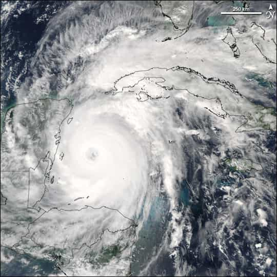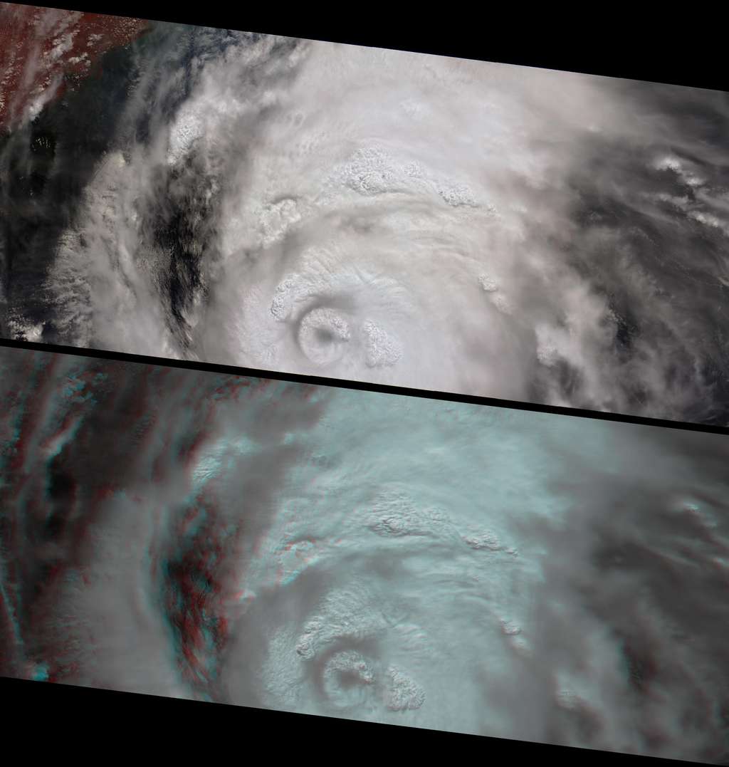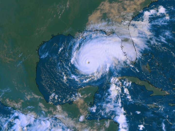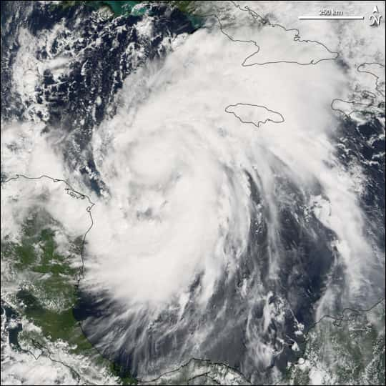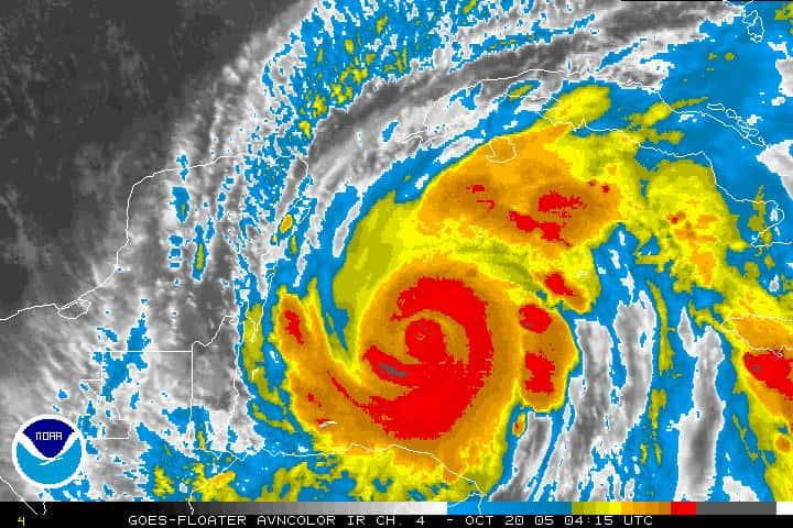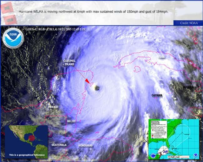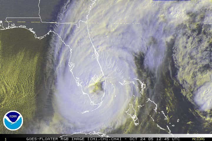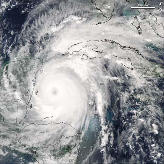
Fr - Photo de Wilma par le satellite AquaAqua de la NasaNasa le 20 octobre 2005 ; le cyclonecyclone Wilma s'apprêtait alors à toucher le Mexique et la province du Yucatan.
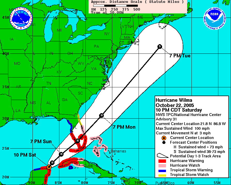
En - Hurricane Wilma was a powerful Category 4 storm when the Moderate Resolution Imaging Spectroradiometer (MODIS) on NASA's Aqua satellite took this image at 2:50 p.m. Eastern Daylight Time, on October 20, 2005. The previous day, Wilma had surged from tropical storm to category 5 hurricane in record time. Winds around the eyewall of the storm were raging at 280 kilometers per hour (175 miles per hour). National Oceanographic and Atmospheric Administration (NOAANOAA) aircraft had also measured a record-low airair pressure of 882 millibars in the center of Hurricane Wilma, making it the most intense hurricane ever observed in the Atlantic basin. Her place in the record books firmly established, Wilma backed off this peak strength somewhat. By the time of this image, she had sustained winds of 230 kilometers per hour (145 miles per hour). Wilma was projected to continue into the Gulf of Mexico bringing powerful winds and heavy rain to both western Cuba and the Yucatan Peninsula before turning to cross through southernsouthern Florida.
Credit: NASA image courtesy Jeff Schmaltz, MODIS Rapid Response Team,Goddard Space Flight Center
